What are the caves of Zakynthos?
Zakynthos is a limestone island, and where limestone meets the sea it hollows out. The result is not one cave but a scatter of them along most of the coast, and almost all of them are reached from the water rather than from a path. Two groups are large and famous enough to be sold as destinations in their own right: the Blue Caves at the northern tip, a chain of arches and chambers between Agios Nikolaos and the lighthouse at Cape Skinari, and the Keri Caves under Cape Keri at the south-western corner, lower and wider, with two big natural rock arches. Between them sit the smaller sea caves of the west coast — Maravelia, the Heart Cave, the so-called Hidden Treasure Cave — which turn up as stops on the Porto Vromi boat circuit, and in the south the Eros Cave and the sea caves of Marathonisi. There is exactly one cave on the island you walk down into rather than sail into: the Damianos cave near the inland village of Agalas.
The single most useful fact on this page is geographical. The Blue Caves and the Keri Caves are at opposite ends of Zakynthos, roughly 40 kilometres of mountain road apart, and each is worked by a separate fleet from a separate harbour. No boat trip visits both. So the first decision is a coast, not an operator.
Where are they?
The Blue Caves line the north-east coast for the last few kilometres before Cape Skinari, and the boats that reach them leave from Agios Nikolaos, a small harbour about 30 kilometres and 40–50 minutes by road from Zakynthos Town. From Tsilivi it is about 29 kilometres; from Alykes about 15; from Laganas roughly 35 kilometres and the best part of an hour.
The Keri Caves are at the far south-west, below Keri village. Their nearest harbour, Limni Keriou, is about 16 kilometres from Zakynthos Town — roughly 16 minutes by taxi on the direct road, longer by the coast — while the bigger turtle-and-caves boats leave from Agios Sostis, on the western edge of Laganas, about 12 kilometres from Argassi and a few minutes from the Laganas strip.
The west-coast caves belong to Porto Vromi, which has two harbours, Maries and Anafonitria, about 32 kilometres and 35–50 minutes from Zakynthos Town on winding roads with no bus. Figures vary by route and season; treat them as planning ranges. The north-vs-south decision in full →
Map
Every cave on this site is on the map below, together with the harbours the boats leave from, so you can see at a glance which coast you are closest to and which cluster that puts you in. Blue pins are caves and formations; the second colour marks departure harbours.
- North coast — Blue Caves, Navagio, Xigia
- South coast — Keri Caves, Marathonisi, Mizithres
- West coast — Porto Vromi caves
- Departure harbour
- Blue Caves — The famous arches and tunnels at Cape Skinari — electric-blue water, reached only by boat.
- Keri Caves — The swim-in caves and two rock arches under Cape Keri, between Cape Marathia and the Mizithres.
- Marathonisi (Turtle Island) — The turtle-shaped islet in Laganas Bay, inside the National Marine Park — loggerheads nest on its beaches.
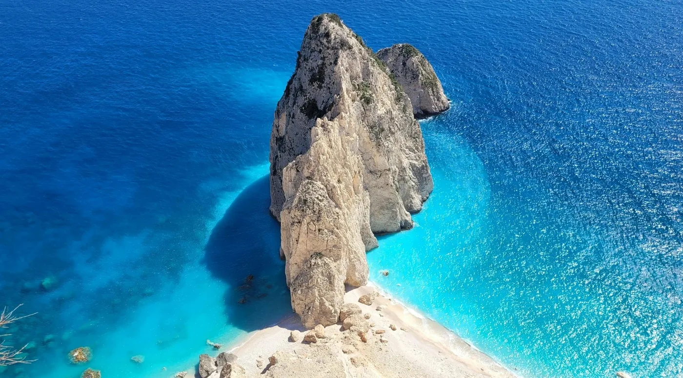
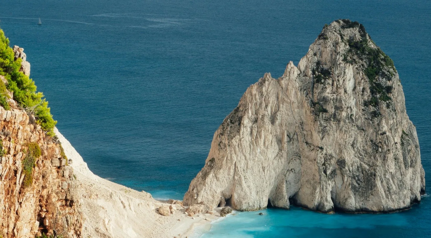
- Mizithres sea stacks — Twin white limestone stacks off Cape Keri, on almost every southern boat route and every sunset cruise.
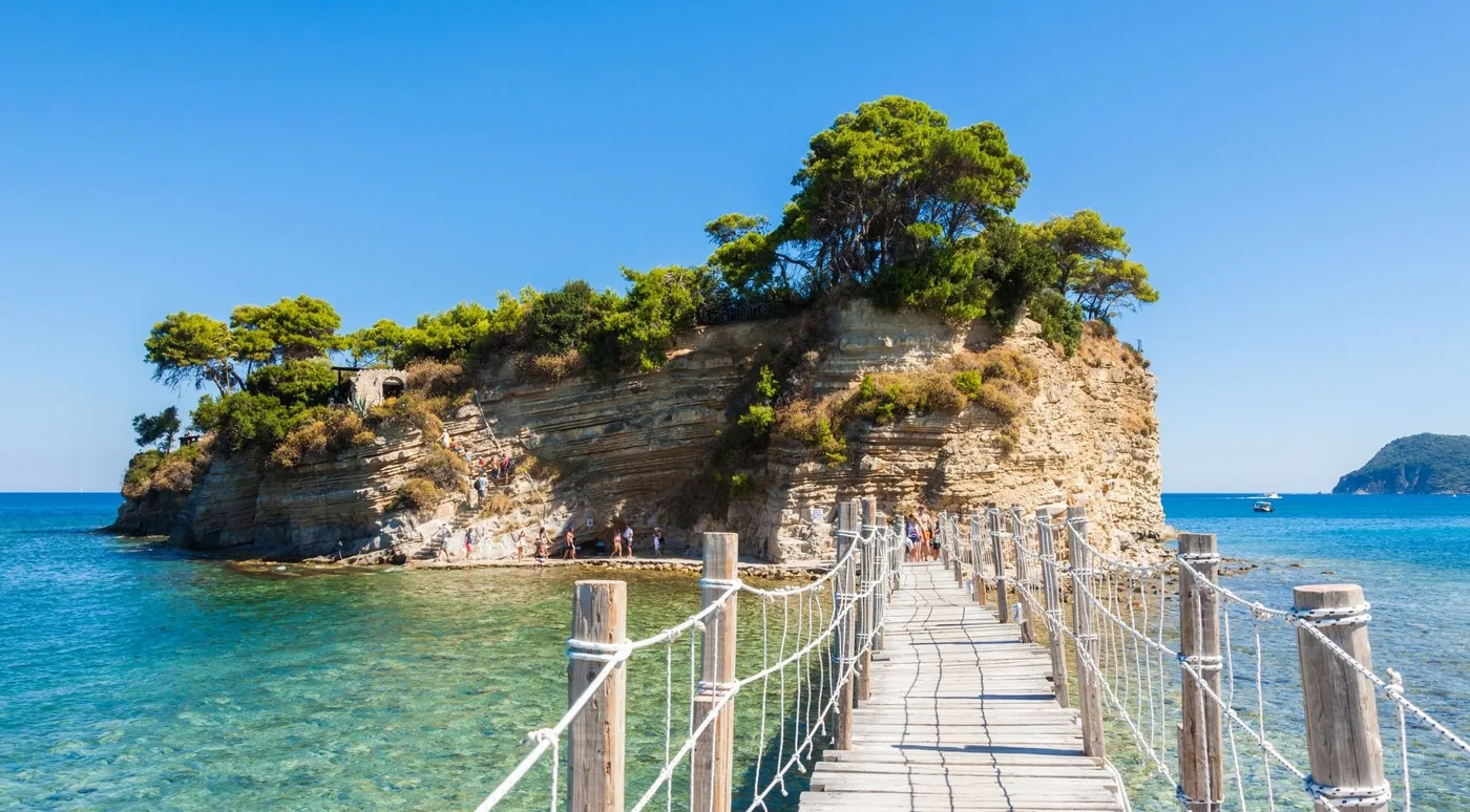
- Cameo Island (Agios Sostis) — The rock islet joined to Agios Sostis by a wooden footbridge, beside the harbour the turtle boats leave from.
- Maravelia Cave ≈ — The west-coast sea cave on the Porto Vromi circuit — the one Porto Vromi trips mean by 'blue caves'.
- Poseidon's Face ("Poseidon Cave") ≈ — Not a cave: a limestone profile in the Porto Vromi cliffs that reads as a bearded face from one angle offshore.
- Eros Cave ≈ — A heart-shaped swim-in cave on the Keri stretch, reached only by small boat from Limni Keriou.
- Damianos Cave (Agalas) — The one cave you walk into: a two-level inland cave near Agalas village, visited on the sunset land tours.
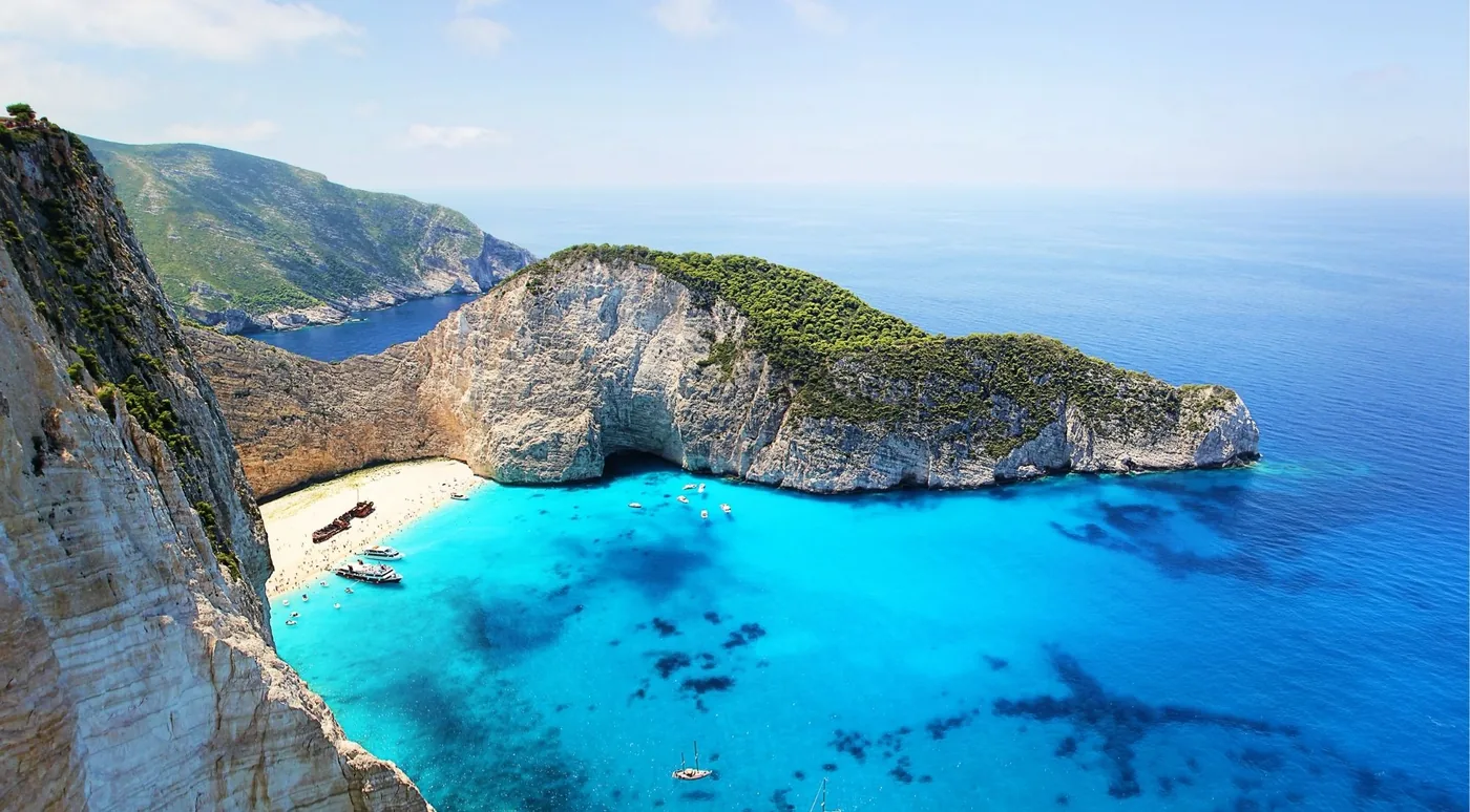
- Navagio (Shipwreck Beach) — The shipwreck bay paired with the Blue Caves on most northern trips — closed to landings through 31 October 2026.
- Xigia sulphur beach — The north-east cove where sulphur springs feed the sea — milky, faintly eggy, colder — a stop on many land-and-sea days.
- Agios Nikolaos harbour — departure harbour: Blue Caves + Navagio boat-only cruises (2–3 h)
- Porto Vromi Maries — departure harbour: West-coast cruises: Navagio, Maravelia, White Beach, Poseidon's Face
- Porto Vromi Anafonitria — departure harbour: Private and self-drive boats for the west coast
- Agios Sostis harbour — departure harbour: Keri Caves + Marathonisi turtle trips, self-drive rentals
- Limni Keriou — departure harbour: Small caiques into the Keri caves, the dive centres
- Zakynthos Town port — departure harbour: Full-island cruises (≈7 h) that reach the Blue Caves and Navagio the long way round
Pins marked ≈ sit at the nearest verified feature — no mapped coordinate exists for the cave itself. Coast colours match the site's north / south / west split. Larger map on OpenStreetMap ↗
Pins for the smaller caves sit at the nearest verified feature — a harbour or a named headland — rather than at a guessed spot in the water.
The Blue Caves
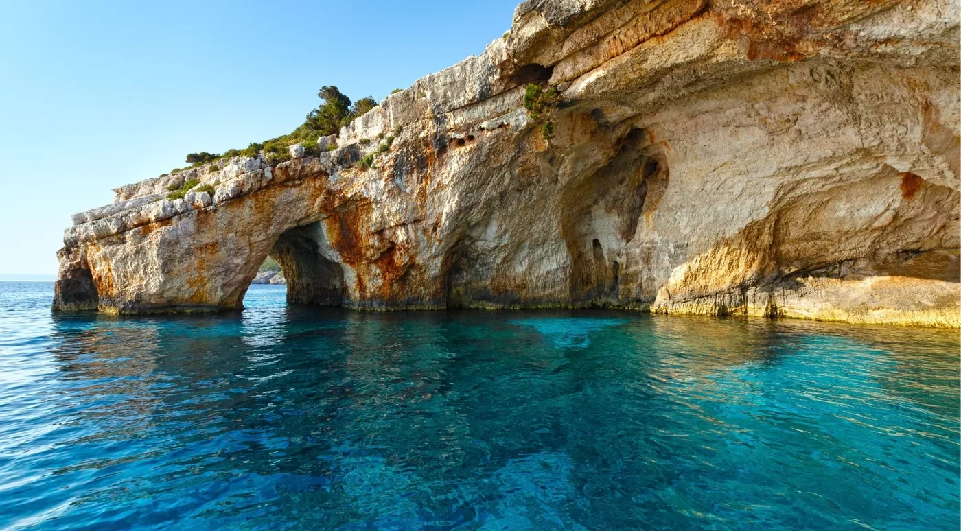
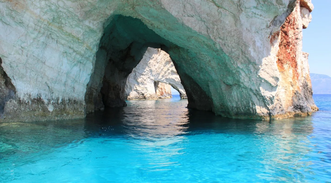
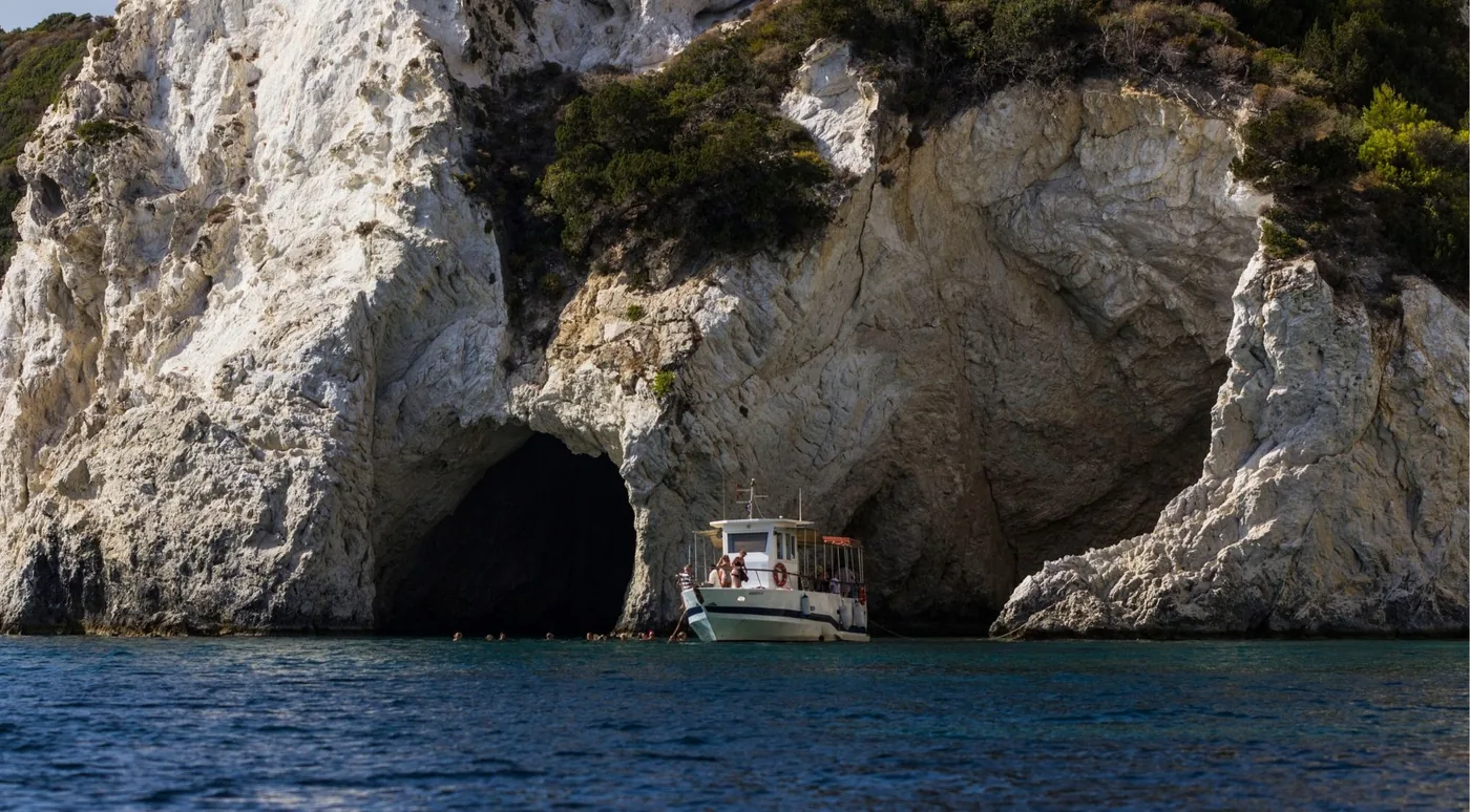
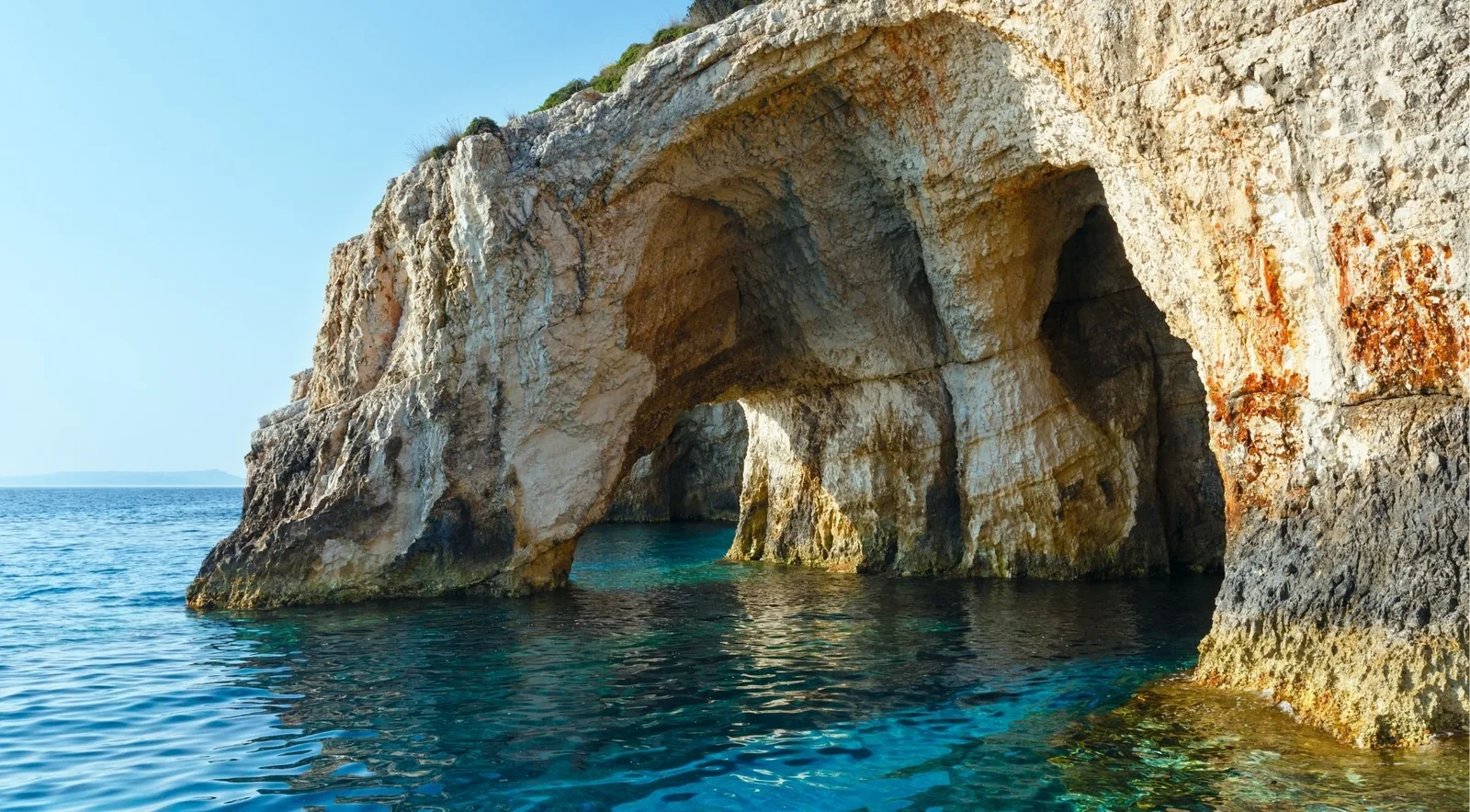
The Blue Caves are the island’s postcard: white limestone arches over water that glows an electric blue because sunlight enters exceptionally clear water, bounces off a pale seabed and comes back tinted, colouring hulls and swimmers alike. Kianoun, from cyan, is the largest chamber. They run along the north-east shore from Agios Nikolaos to Cape Skinari, and there is no path down to any of them — every visit is from a boat.
Small boats and speedboats sail into the arches; the 60-seat excursion boats stop at the mouths. Most northern trips pair the caves with Navagio, the shipwreck bay, on the same ticket. The full Blue Caves guide → covers the light, the boats and the departure points; the trips themselves are compared on Blue Caves tours.
The Keri Caves
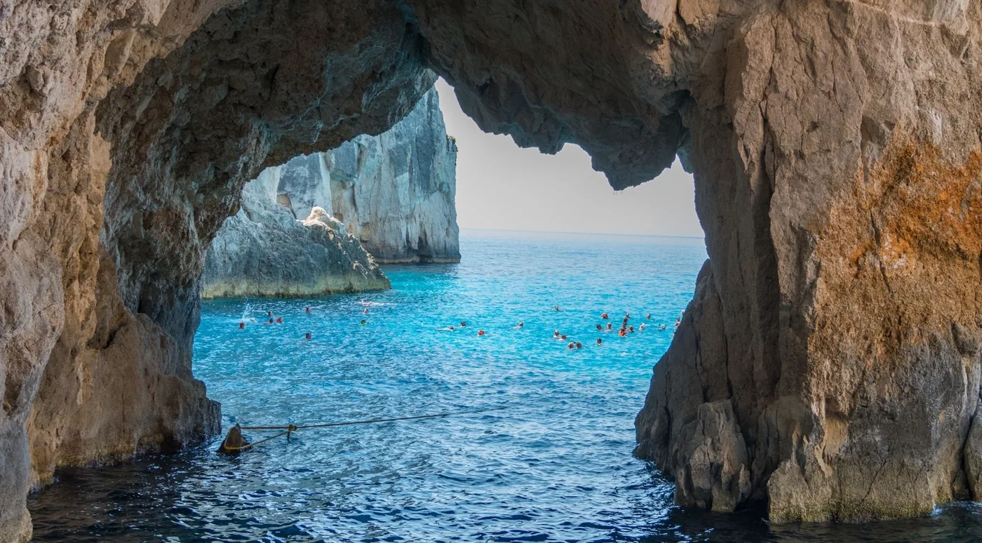
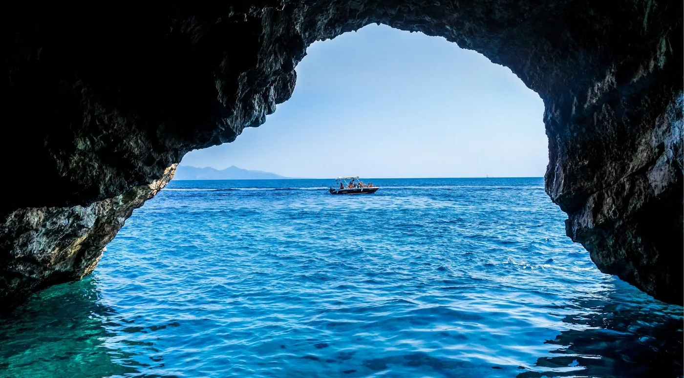
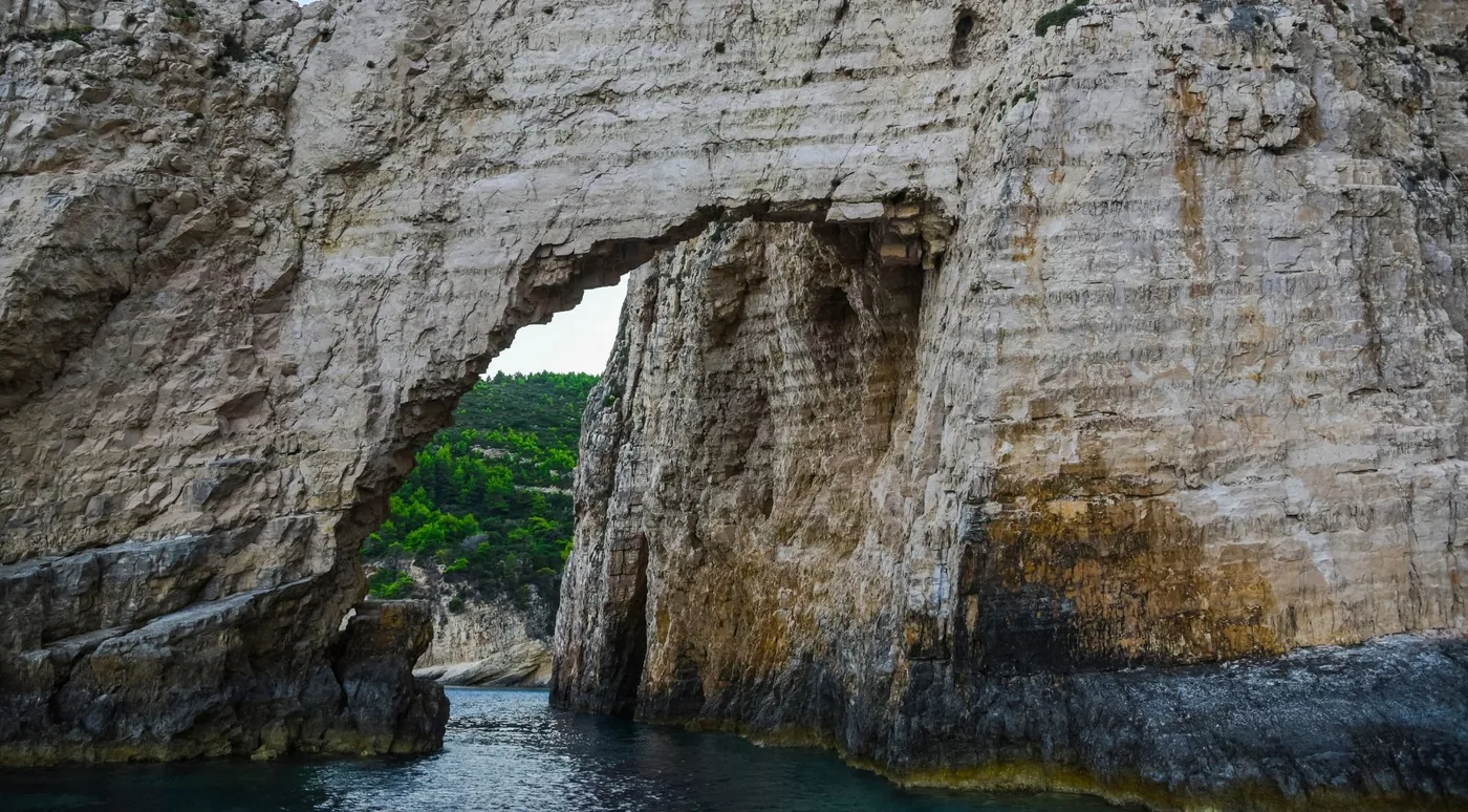
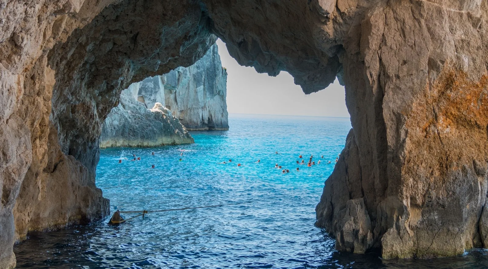
The Keri Caves are the caves you go into the water for. Cut into the white cliffs of Cape Keri — also mapped as Cape Marathia — they are a sequence of low openings, some barely wide enough to swim through, others large enough to take a boat, broken by two natural arches, the larger of which a small boat passes under at speed. The water inside is shallow over a pale seabed, so the light comes up from below in a milky turquoise rather than the north’s electric blue.
Local caiques from Limni Keriou nose inside and cut the engine; the bigger glass-bottom and speedboat trips from Agios Sostis stop for a swim in the cave mouths and then carry on to the Mizithres stacks and Marathonisi. The full Keri Caves guide → explains the three harbours and the swimming; Keri Caves tours compares the boats.
The smaller caves
Six names recur on itineraries, and it helps to know what each actually is.
Maravelia Cave is a genuine west-coast sea cave on the Porto Vromi circuit, a regular swim or drive-through stop on seven of the trips we list. The Heart Cave and the Hidden Treasure Cave are its neighbours on the same stretch; between them they are the reason Porto Vromi boats advertise “blue caves” that are not the famous northern ones. Maravelia, and every tour that names it →
Poseidon’s Face — sold as “Poseidon Cave” almost everywhere — is not a cave at all. It is a limestone profile in the Porto Vromi cliffs that resembles a bearded face from one angle offshore, a photo stop of a few minutes on the same routes. What the name refers to →
In the south, the Eros Cave near the Mizithres is a heart-shaped opening that only small boats enter, and Marathonisi — Turtle Island — has sea caves along its cliffs that the turtle boats pass. Inland, the two-level Damianos cave near Agalas is the one you reach on foot. All of them are ranked and compared in the best caves in Zakynthos.
Blue Caves vs Keri Caves — which should you choose?
Choose the Blue Caves if you want Zakynthos’s most famous cave scenery and plan to combine it with Shipwreck Beach. Choose Keri Caves if you want swimming, smaller caves and the option to combine the trip with Marathonisi and turtle spotting.
| Cave | Area | Access | Can you enter? | Swim | Tour availability |
|---|---|---|---|---|---|
| Blue Caves | North, Agios Nikolaos – Cape Skinari | Boat only | Small boats sail in; big boats stop at the mouth | ✓ from the boat | Excellent |
| Keri Caves | South-west, Cape Keri | Boat only | Small boats sail in, swimmers go through | ✓ the main reason to go | Excellent |
| Maravelia Cave | West, Porto Vromi circuit | Boat only | Swim or drive-through stop | ✓ on most stops | Good |
| Poseidon’s Face | West, Porto Vromi bay | Boat only | A cliff profile — nothing to enter | — | Good (as a photo stop) |
| Eros Cave | South, near the Mizithres | Small boat only | Yes, weather permitting | ✓ | Some tours |
| Damianos cave | Inland, near Agalas | On foot | Yes | — | Sunset land tours |
| Marathonisi caves | South, Laganas Bay | Boat only | Passed, not entered | ✓ nearby, in the bay | Excellent (with turtles) |
The longer comparison — light, boat size, combinations, who each suits — is in Blue Caves vs Keri Caves.
Pick your coast
Blue Caves or Keri Caves — the two routes from here
Each coast has its own fleet, its own harbours and its own pairing. Choose one and the tour follows.
North Zakynthos
Blue Caves + Shipwreck Beach
The famous ones. Electric-blue water under limestone arches at Cape Skinari, reached by boat from Agios Nikolaos — and almost always paired with Navagio, the shipwreck bay, on the same ticket. Best light before noon.
South Zakynthos
Keri Caves + Turtle Island
The swimming ones. Smaller caves and arches under Cape Keri that small boats sail straight into, the Mizithres sea stacks, and Marathonisi — Turtle Island — where loggerheads surface in the bay. Trips leave from Laganas, Agios Sostis and Limni Keriou.
How do you visit the caves?
By boat, without exception, for every sea cave on the island. Which harbour you leave from decides which caves you see:
- Agios Nikolaos and Alykes on the north-east coast send boats to the Blue Caves, usually with Navagio on the same run.
- Porto Vromi Maries and Porto Vromi Anafonitria on the west coast serve Maravelia, the Heart Cave, Poseidon’s Face and the coves around them.
- Agios Sostis, Laganas beach and Limni Keriou in the south serve the Keri Caves, the Mizithres and Marathonisi.
If you have no car, the land-and-sea day tours collect you from your accommodation, drive to a viewpoint and then put you on a boat; they are the island’s most-booked format for exactly that reason. Without a tour, the options are a licence-free hire boat — the widely quoted limit is 30 horsepower, though rental firms quote different figures, so confirm — or the local caiques that run the Blue Caves from the far north, which are reported rather than bookable here. Private boats and self-drive hire → · North vs south, resort by resort →
Can you swim, snorkel or dive in the caves?
In the south, swimming is the trip: the boats stop inside or beside the Keri Caves and everyone goes over the side into shallow, clear water. In the north, the swim stops are usually in the bays beside the Blue Caves — Agios Andreas, Selina — and only the small boats put you in the water inside the arches themselves. On any trip, whether you swim in a cave rather than next to one depends on the size of the hull and the state of the sea that morning.
Snorkelling is rewarding on both coasts because the light comes up through the water rather than down onto it; bring a mask, since most boat-only trips do not provide one. Diving is a southern speciality: Limni Keriou is the island’s dive hub, with several long-established centres and the Keri Caves counted among the signature dives. What the Keri swims are like → · What to bring →
Best time of day and season
The blue is a morning phenomenon. The glow depends on the sun driving light into the water and reflecting it off the seabed, and it is strongest from about 09:00 to midday; an afternoon boat through the same caves is noticeably duller. Mornings are also calmer. The Ionian summer wind is the maistro, a north-westerly sea breeze that builds through the afternoon and roughens the return leg — it is not the Meltemi, which is an Aegean wind and does not reach Zakynthos.
The boat season runs from about April to late October, with daily departures from mid-May to the end of September and thinner shoulder-season schedules. The sea is above 20 °C from June into November and peaks around 26 °C in August. Month by month, and hour by hour →
How long you need
It depends on the format more than the coast. A boat-only Blue Caves and Navagio cruise from Agios Nikolaos takes about 2 hours 15 minutes to 2.5 hours; the three-hour Porto Vromi cruise and the three-hour Keri-and-Marathonisi speedboats are the shared-boat standard; the longer southern circuit that adds the Mizithres and the Eros Cave runs about four hours. Land-and-sea days with hotel pickup are 7 to 9 hours door to door, most of the difference being the drive. Private charters set their own clock, typically two to three hours on the water.
Caves + Shipwreck Beach
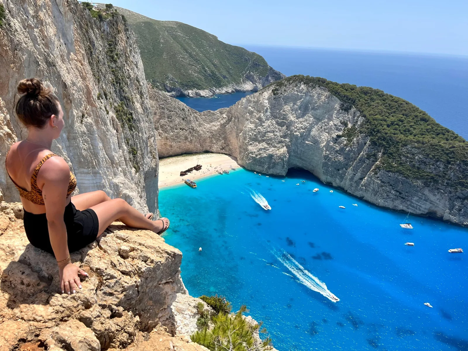
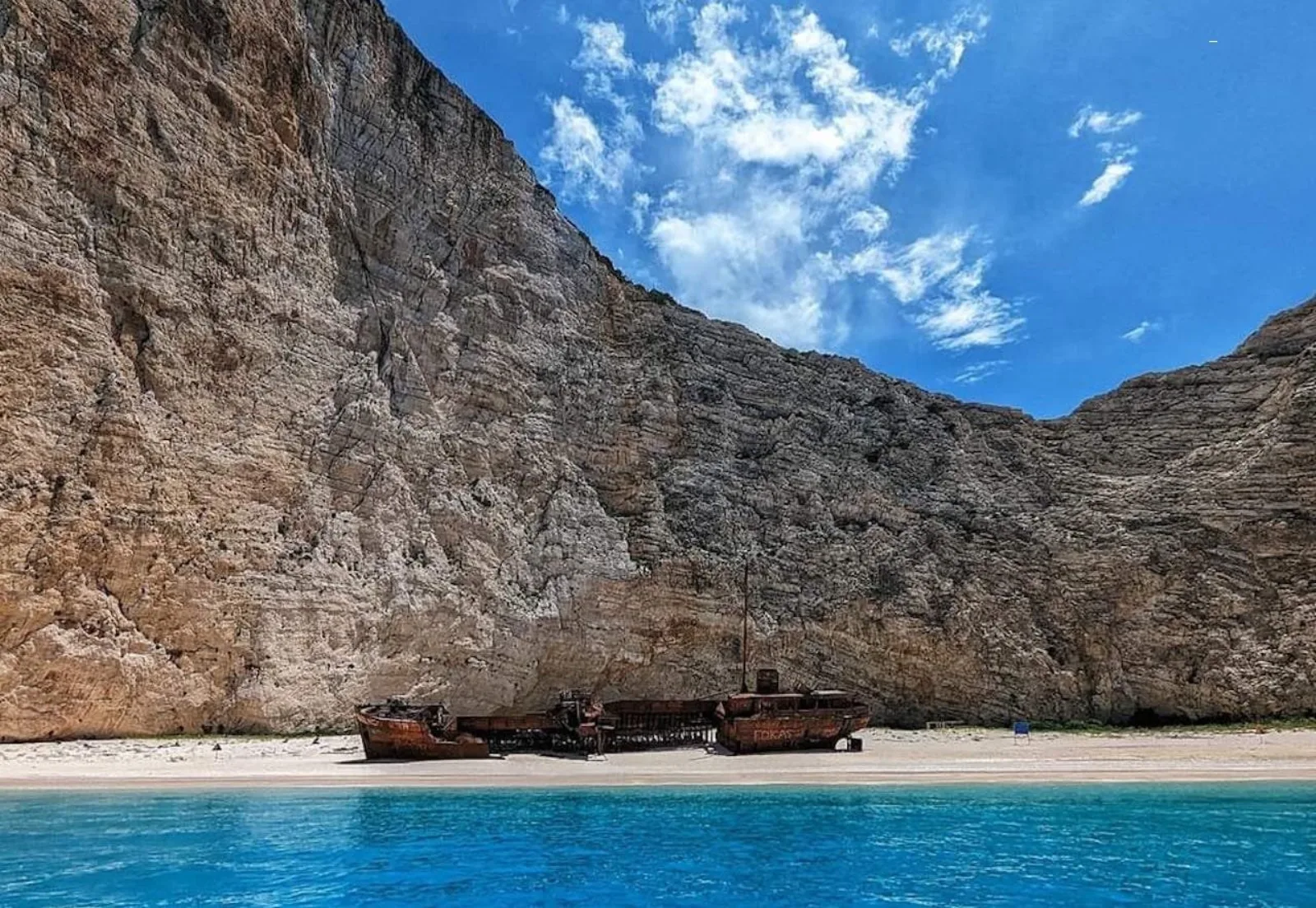
Nobody sells the Blue Caves alone. Almost every northern boat pairs them with Navagio — Shipwreck Beach — because the bay sits on the same coast, and the land-and-sea day tours add the clifftop viewpoint that no boat can reach. One thing to know before you book: Navagio is closed to landings and to swimming inside the bay through 31 October 2026, and boats hold about 50 metres offshore. You photograph the wreck from the water; the swim stops happen elsewhere. Some operator listings still describe stepping onto the sand — that copy predates the closure. Shipwreck Beach from the caves angle → · Shipwreck + Blue Caves tours compared →
Caves + Turtle Island
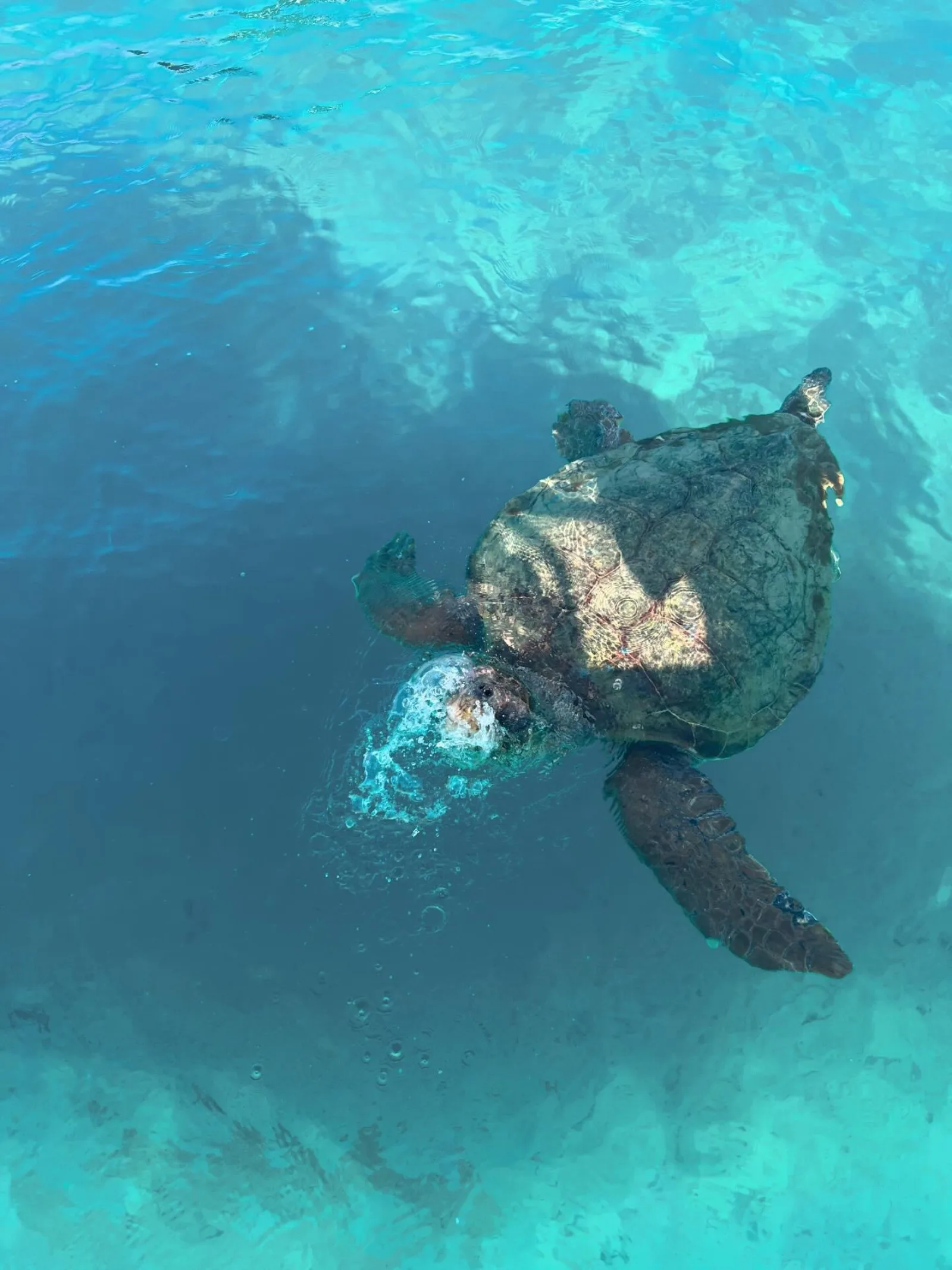
The southern equivalent pairs the Keri Caves with Marathonisi, the small island in Laganas Bay where loggerhead turtles surface between May and October. The whole bay is inside the National Marine Park of Zakynthos, so the boats work to rules: keep 15 metres from a turtle, observe for minutes not half-hours, stay under 6 knots in the protected zones, and land on Marathonisi only in daylight and only on the permitted shore. Sightings are likely in high summer and guaranteed by nobody, whatever a listing says. Turtle Island and the park rules → · Keri Caves + Turtle Island tours compared →
Cave boat tours
Every cave trip on the island falls into one of a handful of formats — shared boats from the harbour, glass-bottom boats, speedboats, land-and-sea days with pickup, private charters and licence-free hire — and shared trips on both coasts start from about $29. The three below are the reference products for each cluster.
 MOST REVIEWED
Zakynthos: Shipwreck Beach with Blue Caves Land & Sea Tour
The island's most-reviewed excursion: hotel pickup, the Navagio clifftop viewpoint, then a boat into the Blue Caves and past the wreck, with swim stops at White Beach and Maravelia Cave.
 KERI CAVES
Zakynthos: Turtles, Marathonisi & Keri Caves Speedboat Tour
The most-reviewed southern trip: hotel pickup to Agios Sostis, then a three-hour speedboat through the National Marine Park — turtles, Cameo Islet, into the Keri Caves and a swim at Marathonisi.
 SMALL BOAT
Zakynthos: Blue Caves and Navagio Bay Swim Cruise
A small boat from Agios Nikolaos that sails right into the Blue Caves arches, with swim stops at Agios Andreas Bay and inside the caves, in about two and a half hours.
Every trip we cover is compared side by side, with which caves it actually enters, on Zakynthos cave tours; if you would rather be matched than browse, which cave tour is right for you answers it by situation.
Nearby attractions and photo gallery
The caves are rarely the whole day. In the north, the Navagio viewpoint above the shipwreck bay is reached by road and appears on every land-and-sea itinerary, and Xigia beach — where sulphur springs feed into the sea and turn the water milky and cold — is a common swim stop on the way back. In the south, Cameo Island, a rock islet joined to Agios Sostis by a wooden footbridge, is where many of the turtle boats depart, and the Keri lighthouse road climbs to the cliff edge above the Mizithres for the island’s best-known sunset.
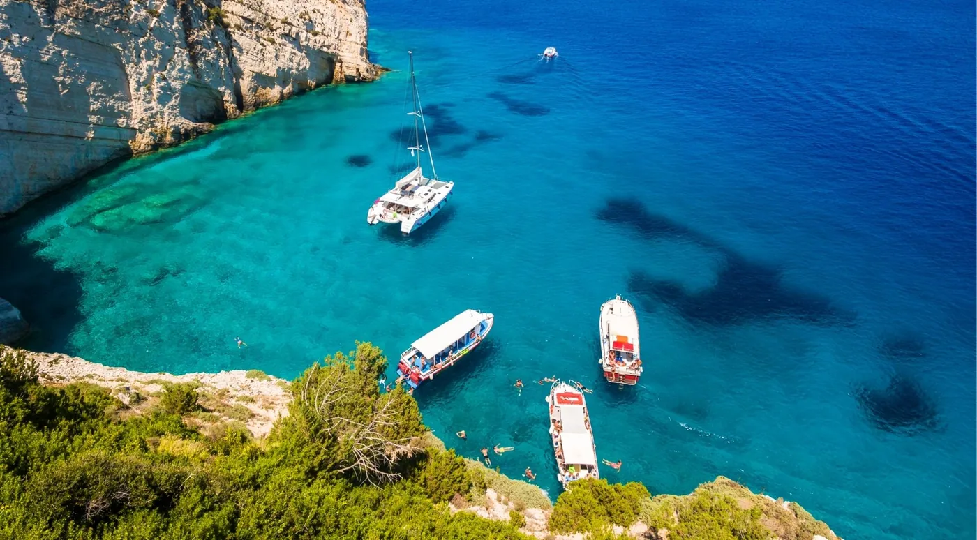
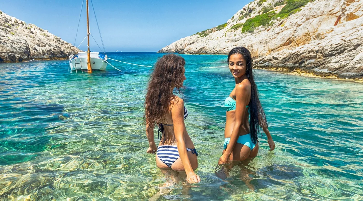
On the west coast, Porto Limnionas is a narrow rocky inlet with a swimming cove, the nearest thing Zakynthos has to a fjord, and Porto Vromi itself is a pair of tiny harbours at the foot of the cliffs. The photographs below are the coasts these trips work.
Photo Gallery
The Caves of Zakynthos
Blue Caves in the north, Keri Caves and the Mizithres in the south, and the coves the boats stop at in between.